12. 01. 2012

陸前高田の津波到達距離を、東京の地理感覚で把握してみる。
Read More →
22. 12. 2011
マンハッタンの自転車レーンに停車する車を監視して情報共有するサイト...
Read More →
21. 12. 2011
マンハッタンのグリッドをGoogleMaps上で自分の町に合成する...
Read More →
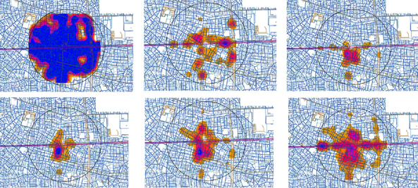
01. 06. 2011
公共交通機関で一定時間に移動できる距離を可視化する。
Read More →
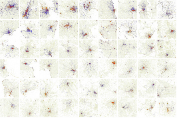
29. 10. 2010
布川 悠介,伊藤 史子. 首都大学東京 都市環境科学研究科 都市シ...
Read More →
26. 08. 2010
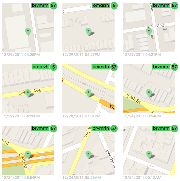
foursquareのログイン場所を集計して視覚化したマップ。
Read More →
10. 08. 2010
僕にとっての地図というのは、自分が動くことで世界が自動的に生成され...
Read More →
11. 06. 2010
ウェブ上の画像と位置情報から様々なプロジェクトを展開するEric ...
Read More →