05. 05. 2013
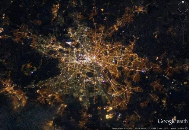
ベルリンの壁崩壊から25年。いまだ東西には格差があるけど、夜の光に...
Read More →
04. 03. 2013
都市の様々なデータをヴィジュアライズするMITのラボ。
Read More →
11. 01. 2013

「人の流れプロジェクト」のYoutubeチャンネル。 http:/...
Read More →
25. 05. 2012
コンピューター、そしてインターネットの登場によって高度なデータ収集...
Read More →
09. 01. 2012

都市の写真を重ねてその都市の色を導き出す。キーワードからFlick...
Read More →
05. 01. 2012
東京の人種を地域ごとに独断と偏見でマトリックス化。 東京DEEPコ...
Read More →
17. 12. 2011
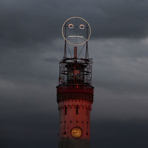
群衆の感情を可視化した、8メートルの巨大顔文字「Feel-o-me...
Read More →
05. 12. 2011
Chromaroma from Mudlark on Vimeo....
Read More →
01. 06. 2011
公共交通機関で一定時間に移動できる距離を可視化する。
Read More →
29. 10. 2010
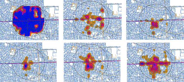
布川 悠介,伊藤 史子. 首都大学東京 都市環境科学研究科 都市シ...
Read More →
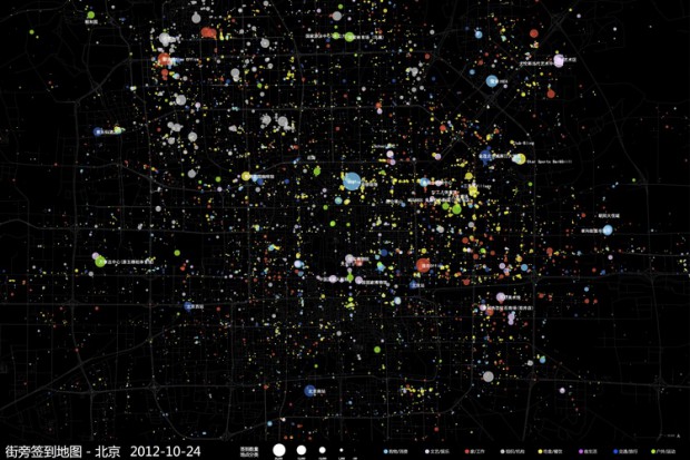
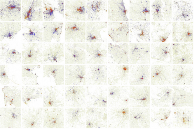
26. 08. 2010
foursquareのログイン場所を集計して視覚化したマップ。
Read More →
11. 06. 2010
ウェブ上の画像と位置情報から様々なプロジェクトを展開するEric ...
Read More →
01. 02. 2010
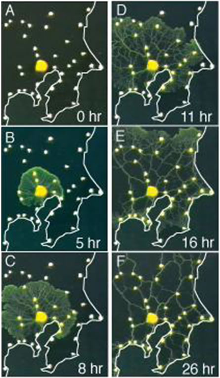
粘菌の輸送ネットワークから都市構造の設計理論を構築—都市間を結ぶ最...
Read More →