23. 03. 2009
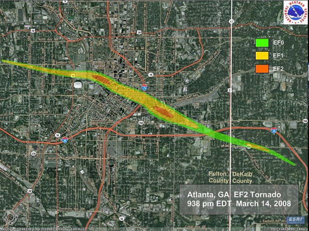
ヒートアイランド現象と局地的な気象の相関。 凶暴化する都市気象:竜...
Read More →
05. 03. 2009
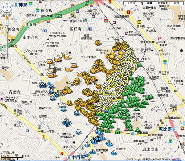
「代官山」の範囲ってどこからどこまで?地図で示す「街の範囲」[絵文...
Read More →
05. 03. 2009
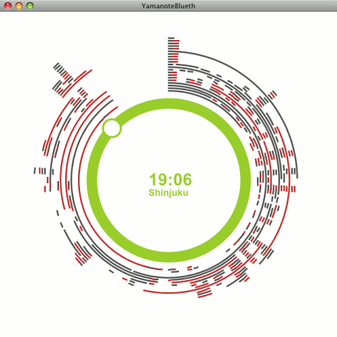
高木浩光@自宅の日記 – Bluetoothで山手線の...
Read More →
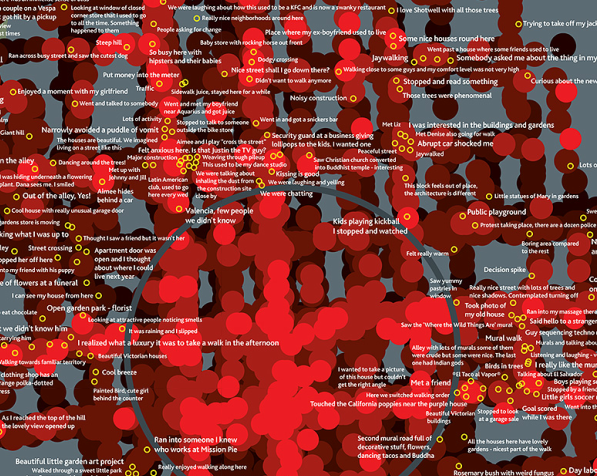
24. 12. 2008

都市にいる人々の感情とかを携帯端末を利用して視覚化する試み?
Read More →
21. 12. 2008
群衆を科学する。礼拝堂の設計や群衆のシミュレートなどのまとめ。 h...
Read More →
12. 12. 2008
ものすごい飛行機の量。アジアの街角のスクーターの流れを見ているよう...
Read More →
21. 06. 2007
1970年代から続けられているマンハッタンの定点観測。
Read More →
01. 05. 2007
GPSと生体情報をマッピングして、都市における人間の感情を視覚化。
Read More →
10. 04. 2007
ロサンゼルスのホームレス分布をマップ化したサイト。 時系列によって...
Read More →
05. 02. 2007
地下の動物と言ってもドブネズミのたぐいではなく 地下鉄の路線図をな...
Read More →